Terrain Slope Selector
Terrain/Topology
The node can be used to mask regions based on specific slope ranges. It computes the local gradient at each pixel to determine the slope or inclination of the terrain surface.
Input Parameters
- Height Image Gray
- Mode Enum · Sobel, Forward, Diagonal
- SmoothingMode Enum · Blur, FilterFrequencies
The mode used for smoothing the heightmap which can be a gaussian blur or by filtering out frequencies. - PhysicalSize Float · Range 10.00 → 5000.00
- PhysicalHeight Float · Range 10.00 → 5000.00
- SlopeRange Vec2
- SlopeFalloff Float
- Blur Float
- Threshold Float · Range 0.00 → 1.00
- FilteringQuality Enum · Medium, High
- Invert Boolean
Output Parameters
- Output Image Gray
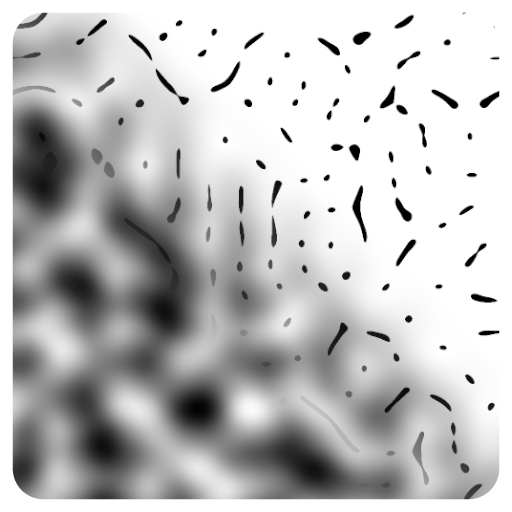
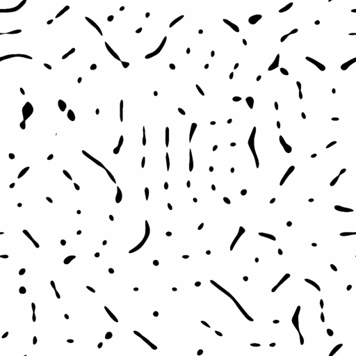
Example

Meta
| Author | InstaMaterial GmbH | Category | Terrain/Topology | Tooltip | The node can be used to mask regions based on specific slope ranges. It computes the local gradient at each pixel to determine the slope or inclination of the terrain surface. | Name | Terrain Slope Selector | Version | 1.55 | ID | dd6c59b8-464b-4564-aac4-7c8aa11251ed | PackageUrl | pkg://d3e3d791-222f-4e37-8137-7395b8eb89f1/atoms/dd6c59b8-464b-4564-aac4-7c8aa11251ed.atom |
|---|