Terrain Residual Map
Terrain/Topology
Can be used to highlight local terrain variation by comparing elevation values in a heightmap with surrounding areas with a configurable sampling radius. It generates a residual map that can be used for advanced terrain masking and texturing. It also supports different modes: Mean, Difference from Mean and Standard Deviation.
Input Parameters
- Height Image Gray
- Radius Uint
- Mode Enum
- DifferenceMode Enum
- Multiplier Float
- OutputLevels Vec2
Output Parameters
- Output Image Gray
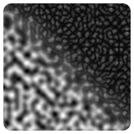
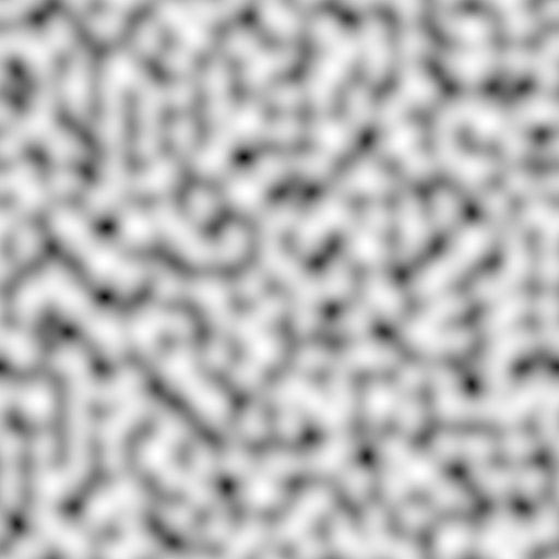
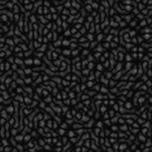
Example
Meta
| Author | InstaMaterial GmbH | Category | Terrain/Topology | Tooltip | Can be used to highlight local terrain variation by comparing elevation values in a heightmap with surrounding areas with a configurable sampling radius. It generates a residual map that can be used for advanced terrain masking and texturing. It also supports different modes: Mean, Difference from Mean and Standard Deviation. | Name | Terrain Residual Map | Version | 1.24 | ID | 921fdbbc-883f-4b80-a822-444300c92647 | PackageUrl | pkg://d3e3d791-222f-4e37-8137-7395b8eb89f1/atoms/921fdbbc-883f-4b80-a822-444300c92647.atom |
|---|