Terrain Landform
Terrain/Topology
Can be used to classify different areas of a heightmap based on various metrics such as Gaussian curvature and shape index. It provides functionalities to detect and categorize landforms into hills, convex areas, planes, and more.
Input Parameters
- Height Image Gray
- LandformType Enum
- GaussianType Enum
- AccumulationType Enum
- SmoothingMode Enum
- Blur Float
- Threshold Float
- FilteringQuality Enum
- Gamma Float
- OutputLevels Vec2
Output Parameters
- Output Image Gray
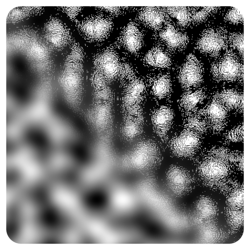
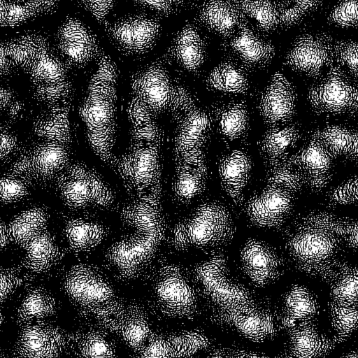
Example

Meta
| Author | InstaMaterial GmbH | Category | Terrain/Topology | Tooltip | Can be used to classify different areas of a heightmap based on various metrics such as Gaussian curvature and shape index. It provides functionalities to detect and categorize landforms into hills, convex areas, planes, and more. | Name | Terrain Landform | Version | 1.21 | ID | 971d3884-2757-42bf-8401-73ea3dc8562d | PackageUrl | pkg://d3e3d791-222f-4e37-8137-7395b8eb89f1/atoms/971d3884-2757-42bf-8401-73ea3dc8562d.atom |
|---|