Terrain Curvature
Terrain/Topology
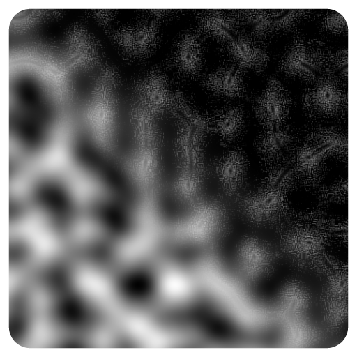
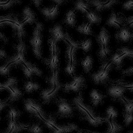
Can be used to classify different areas of a heightmap based on various curvature metrics.It supports calculations for mean, minimal, maximal, plane, flow, and accumulation curvatures, providing insights into terrain characteristics and behaviors.
Input Parameters
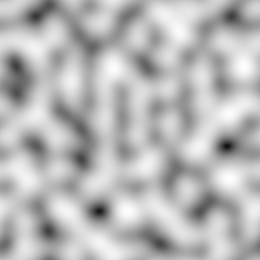
- Height Image Gray
- CurvatureType Enum
- SmoothingMode Enum
- Blur Float
- Threshold Float
- FilteringQuality Enum
- Multiplier Float
- Gamma Float
- OutputLevels Vec2
Output Parameters
- Output Image Gray
Example
Meta
| Author | InstaMaterial GmbH | Category | Terrain/Topology | Tooltip | Can be used to classify different areas of a heightmap based on various curvature metrics.It supports calculations for mean, minimal, maximal, plane, flow, and accumulation curvatures, providing insights into terrain characteristics and behaviors. | Name | Terrain Curvature | Version | 1.27 | ID | def9285d-b59e-4f1f-bc2a-7275027b17d5 | PackageUrl | pkg://d3e3d791-222f-4e37-8137-7395b8eb89f1/atoms/def9285d-b59e-4f1f-bc2a-7275027b17d5.atom |
|---|